These Photographs were originally published as a Blurb book, “Twenty Square Photographs.”
Please see link above, “My Blurb Photo Books.”
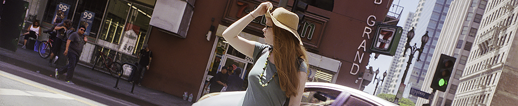
They were meant to be viewed as “sequential pairs,” side by side, as in a book presentation.
Image 1, (2-3), (4-5), (6-7), (8-9), (10-11), (12-13), (14-15), (16-17), (18-19), 20
Within The City Of Los Angeles:
From the most northerly point, North Mission Road, a little north of Cesar Chavez Avenue,
to the most southerly point, Olympic Boulevard, is a distance of six miles.
The most eastern projection was Boyle Heights, the westernmost point was Alameda Street,
is a distance of three miles.


All Content ©Copyright Craig Carlson 2012 All Rights Reserved